 |
||||
| The maps on the local area and further field sections are interactive, there are highlighted areas to click on to see pictures of the area and sometimes local events | |||||
| The Tarn Department | |||||
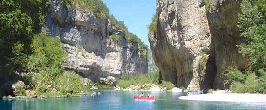
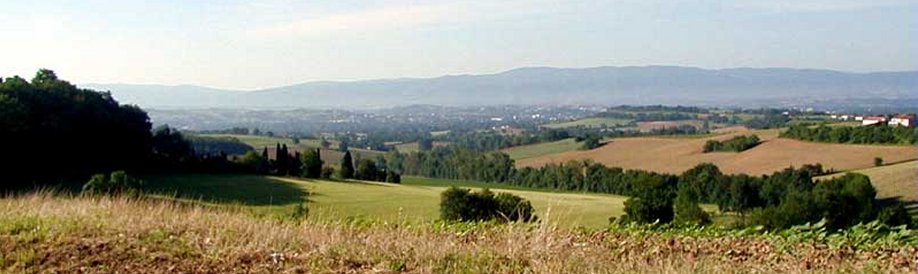
Tarn is one of the original 83 departments created during the French Revolution on 4 March 1790, through application of the Law of 22 December 1789. It was created from part of the former province of Languedoc, and comprised the dioceses of Albi and Castres Tarn's three principal ranges lying to the south-east are: the Mountains of Lacaune, the Sidobre, and the Montagne Noire, belonging to the Cevennes. The stony and wind-blown slopes of the first named are used for pasture. The highest point of the range and of the department is the Pic de Montalet (about 4150 ft.); several other summits are not much short of this. The granite strewn plateaux of the Sidobre, from 1600 to 2000 ft high, separate the valley of the river Agout from that of its western tributary, the river Thoré. The Montagne Noire, on the southern border of the department, derives its name from the forests on its northern slope, and some of its peaks are from 3000 to 3500 ft high. |
|||||
 |
|||||
 |
|||||